Sinus Iridum and the Moon Maiden
Posted by: bitacoradegalileo on: July 27, 2011
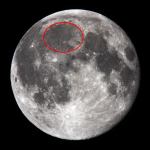 Sinus Iridum is a representative bay on the visible side of the moon, on the northwestern edge of Mare Imbrium (the Sea of Rains), whose location we pointed out in the photograph on the left, marked in red.
This is a vast mare, the second largest in the Moon, only surpassed in diameter by Mare Frigoris (The Sea of Cold ), which occupies as we see, much of the northwestern quadrant of the satellite. It is an accident easy to locate, since it is north of the well known Copernicus (see article on the Lunar Terminator), The Lord 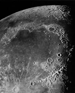 fo the Moon, with its distinctive radial system; in the northeast we find the dark circle of Plato. In the southeast is Archimedes, along with the smaller Aristillus and Autolycus (the Triple A) and Montes Apenninus and diametrically opposed to these, Sinus Iridum, purpose of this study. The dark rift that appears across the top of the photograph is Mare Frigoris.
The whole area has the systematic dark color of the maria (seas, plural of mare), in contrast to the ostensibly brighter on the highlands surrounding the region except its western side.
LOCATION AND PHYSICAL CHARACTERISTICS
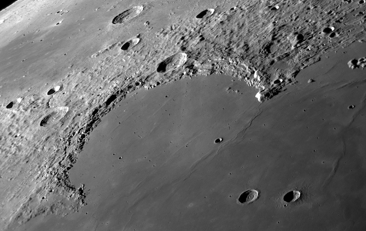
This is a extensive plain in the northwestern edge of Mare Imbrium, caused by the impact of a huge meteorite, which has a diameter of 236 km and represents one of the most 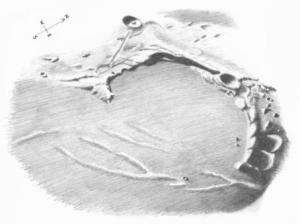 beautiful areas of the lunar landscape. The soil, filled with basaltic lava, is essentially flat, although it presents some irregularities in the form of slightly raised ridges, especially at the entrance to the Bay to the southeast, as illustrated in the drawing, although it is difficult to see them with an amateur telescope, and absent of significant craters.
Sinus Iridum has its northwest boundary in the Montes Jura, a mountain so called in memory of the Jura Mountains in western Switzerland. 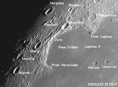 The ridge runs along the bay at the top, forming a half-ring of 350 km in length, beginning at the northeast corner of the Promontorium Laplace, and southwest by the Promontorium Heraclides
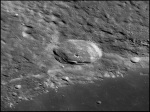 , which will be discussed below. The chain is interrupted by Bianchini (that we see in the picture on the left), an impact crater of 38 km in diameter and a depth of 3100 meters, 300 more than the altitude of the Aneto, the highest mountain in the Pyrenees. Bianchini presents ridges in its center, and some areas of its inner north wall have collapsed on the ground.
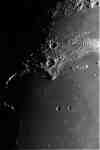 Promontorium Laplace, in the center of the image, closes the Bay in its northeastern end, and is a wonderful show at daybreak, with slanting light, 10 days after the new moon. Their altitudes above 3200 meters cast shadows on the floor of Sinus, which will be shortening as hours progress, and whose observation is indispensable. I’ve spent long hours observing eye glued to this accident that we will see below.
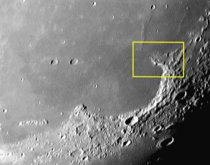
PROMONTORIUM HERACLIDES, THE MOON MAIDEN.
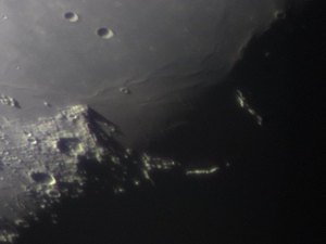
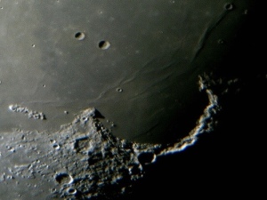
Around the eleventh day after the new moon with a crescent gibbous moon the dawn begins on the highest peaks of Promontorium Heraclides (Cape Heraclides). This is a cliff that overlooks the southwestern border of Sinus Iridum, from a height of 1,064 meters. As the terminator moves over the course of the hours we are going to see how it takes shape with the help of the shadows, one of the most fascinating figures of all selenography: The Moon Maiden. The ideal place to observe this great spectacle is the southern hemisphere, or else be aware that we observe it with a rotation of 180 degrees.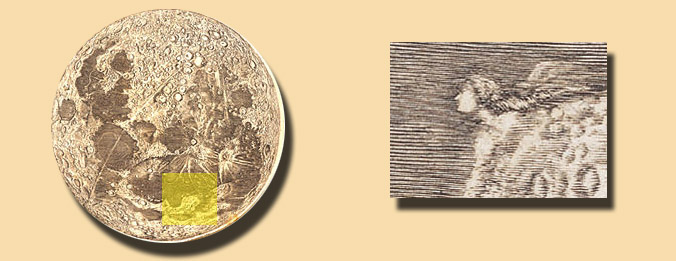 In 1679, Giovanni Cassini, was tasked, by King Louis XIV of France, to make a lunar map. In the area corresponding to Promontorium Heraclides, the engraver drew a woman’s head, we do not know if motu proprio or commissioned by Cassini himself.

Leave a Reply